Data
visualization is an important task in science, this is why
suitable tools are requiered. Nowadays, exploring geospatial
data is common in many fields and several tools exist from both
commercial and free solutions. Nevertheless, none of them offer
a versatile, light, and fancy way to visualize planetary mission
data. In addition, the datum of each planetary bodies involved
(i.e., planets, satellites, small bodies...) is usually not well
supported. QtVue
project aims to offer a such solution. Using the Gdal library
with OpenGL, QtVue
will ultimately offer to the user (i.e., planetary scientist) an
easy way to explore geospatial data as well as a fancy display
for their presentations, papers or any communication of their
results. Reading PDS (NASA planetary data system) as well as
VICAR (NASA/JPL) and ISIS (USGS) files is part of the main
focuses. Additionnal formats will be readable (thanks to GDAL
library) such as Geo/Tiff, GMT/netCDF, DEM-USGS, Er Mapper, NOAA
vertical Datum, ENVI, SGI, Terragen and many others.
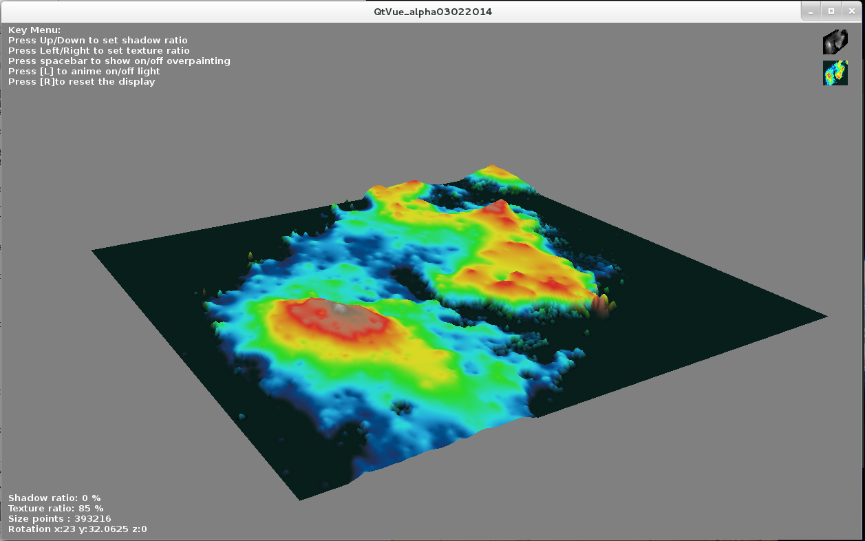
Suggestion of how QtVue will look like (inspired from examples on developpez.com)
Current
status:
Feb
2nd 2014: OpenGL integration into the GUI (tests on Linux
and Max OS X).